-

Silicon Slopes | Business and Climate Sustainability
DPS Skis needed to balance being a viable business with conserving the winter environments that make the sport possible. This is an essay on how we approached the problem, published in Silicon Slopes magazine.
-

Patagonia | The Path of a Water Droplet
A ski and packraft journey from Tititea to the ocean. Published by Patagonia.
-

NZSkier | Success is Relative
A philosophical recount of an expedition to ski in Alaska's St Elias Mountains. Published in NZ Skier Magazine.
-

Adventure | Central Otago River Journeys
There's a lot to explore in our backyard. This is a story of three kayaking first descents, published in Adventure Magazine.
-
Freeskier | Trip Report, Mt Aspiring
A recount of our 2020 trip to ski an iconic local peak, Mt Aspiring / Tititea. Published in Freeskier Magazine
-
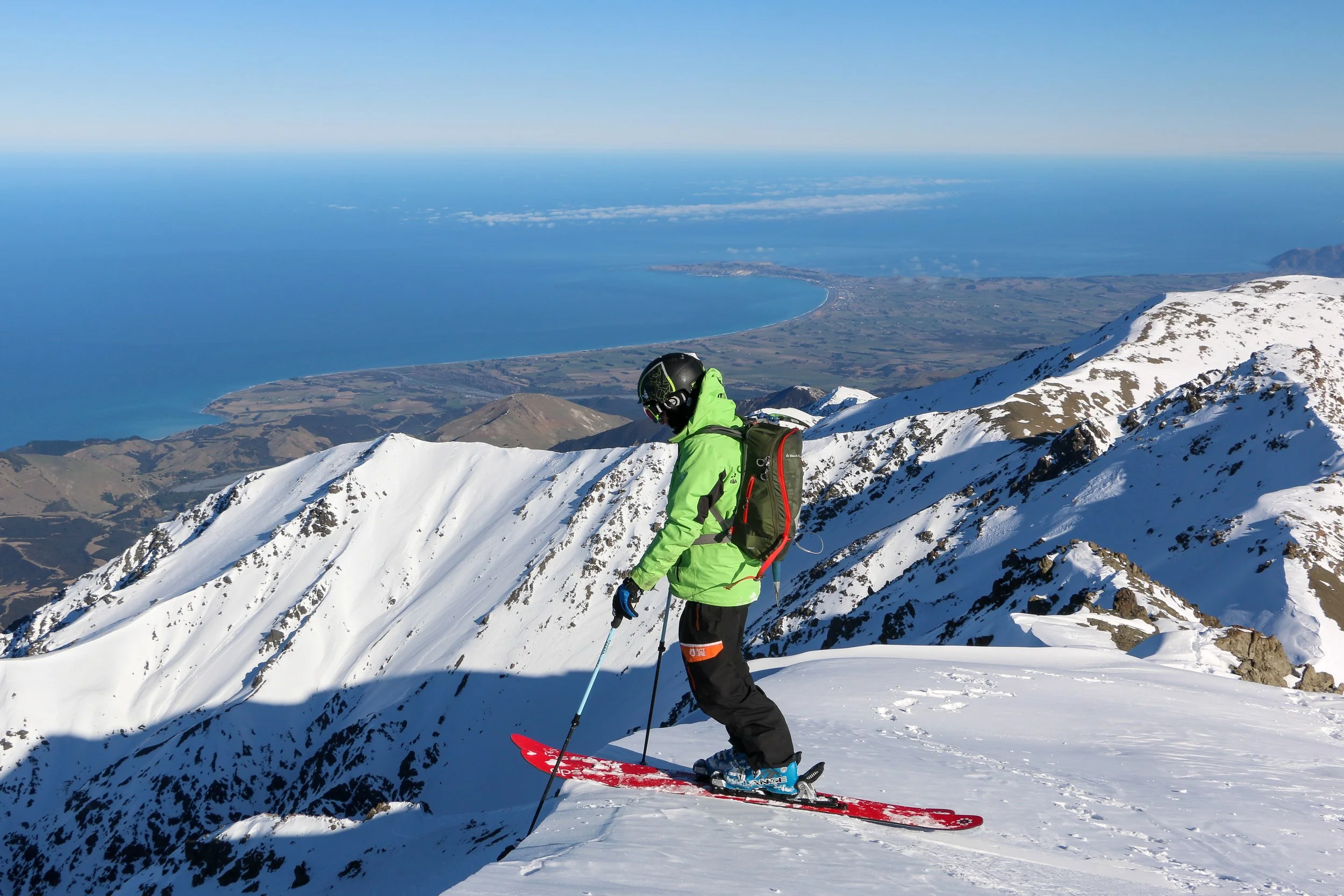
Engineering NZ | Secret Life of Engineers
An interview from my engineering days, about how I juggled work with my passions. Something I'm still trying to find a balance on.
-

Wilderness | What's In My Pack
Thoughts on gear choice and managing weight in a 35kg+ pack for a week long skiing, packrafting, and alpine journey from Tititea to the Tasman Sea.
-

Radio NZ | Blake's Interviewed About Our 288km Taieri River Expedition
Blake recounts our adventures on the Taieri and the watershed's environmental challenges.
-

Otago Daily Times | Eye Opening Kayaking Source to Sea
Our home paper reports the first source to sea descent of the Taieri River, and why it's important to conserve.
-
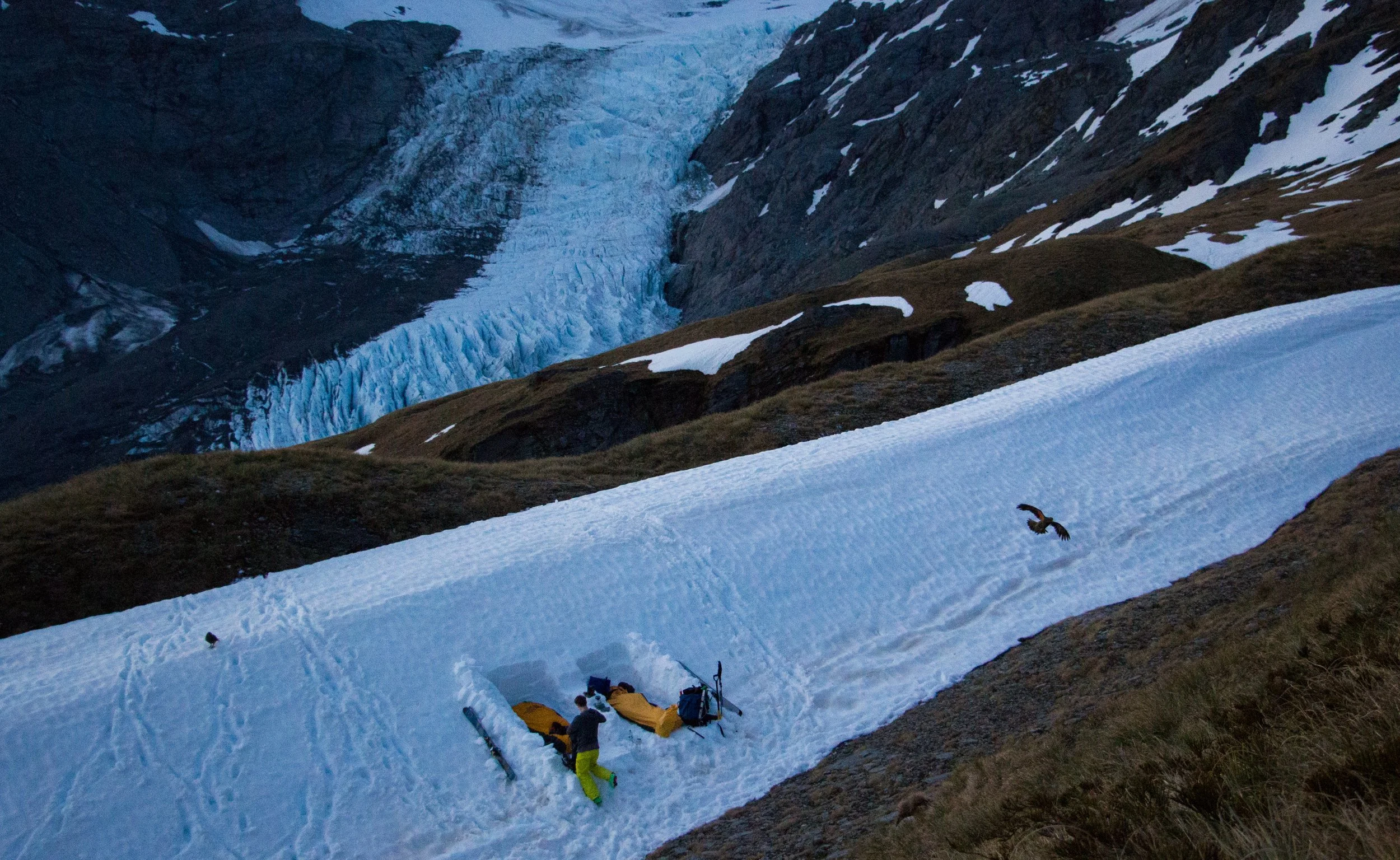
DPS Skis | Odd Bedfellows in NZ's Southern Alps
Reflections on spring ski touring and our love-hate relationship with kea - Aotearoa’s unique alpine parrot.
-
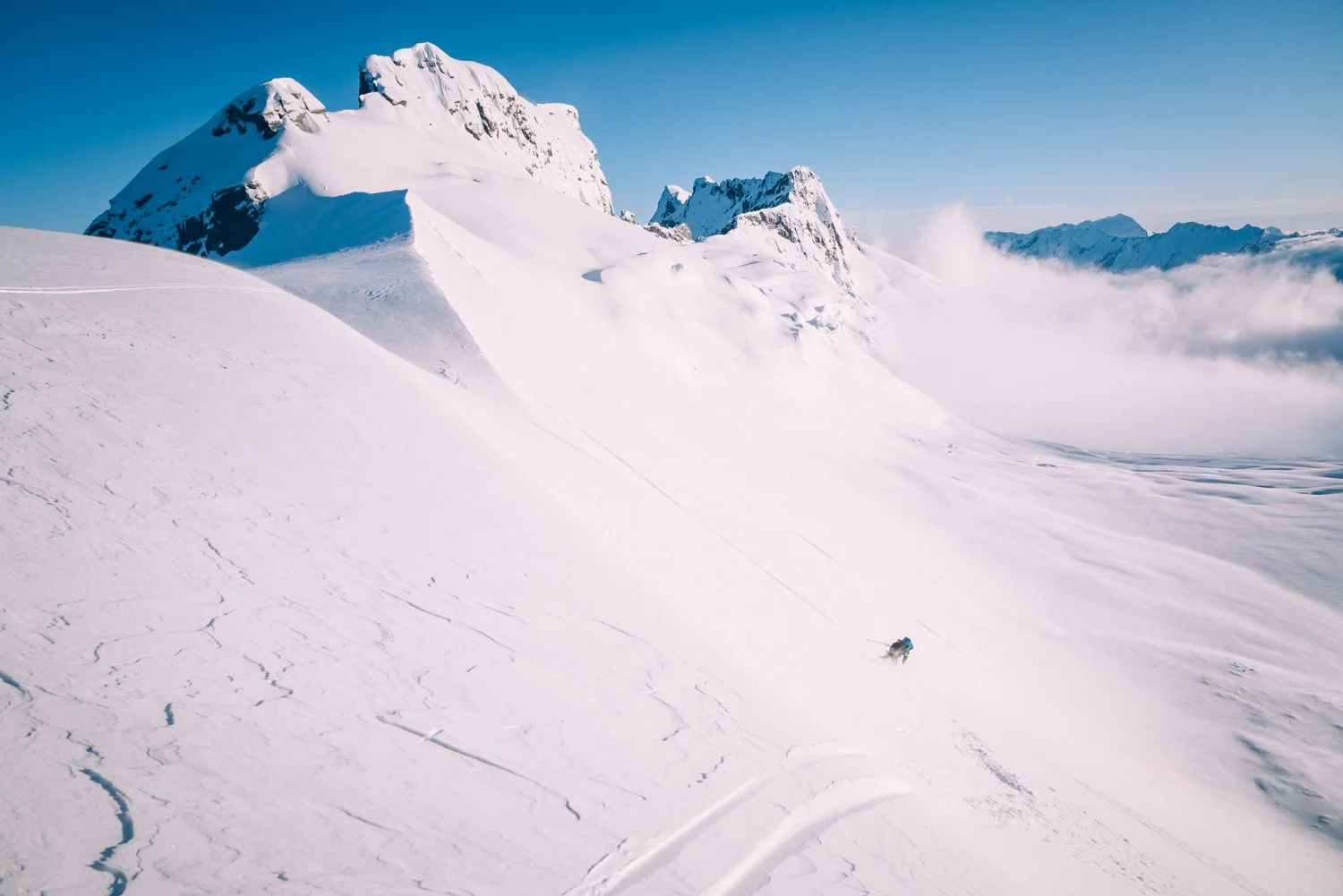
Aotearoa Adventure Podcast | Recounting Our Tititea - Waiatoto Expedition
I joined Abigail Hannah on her podcast to run over our trip, planning advice, and mentorship in the mountains.
-

Chill | Liftlines and Nutcrackers: Some Thoughts On Why We Ski
After a ski season in Utah I gained a renewed appreciation for the skiing and community at NZ’s clubfields.
Where does fast and light fit in Aotearoa?
Aotearoa has a storied history of endurance activities in the mountains. Now with modern gear and tech how can people apply skill, creativity, and teamwork to go further, open fresh routes, and innovate how we approach old classics?
Originally published in print in the Autumn 2024 New Zealand Alpine Journal
From Hillary to Snell and Lovelock, Aotearoa has a storied history of endurance activities. We revere sporting heroes with knighthoods and faces on banknotes. In the mainstream, taking advantage of our world class trails and huts has become a national pastime. Hunting, fishing, and mountaineering, draw people off the beaten path further into our wilderness, yet they’re still generally done in multi-day tramping style.
Looking further afield, trail running has boomed worldwide since the early 2000s. However New Zealand has seemed somewhat immune to the growing European and North American trends for buzzwords like Fastest Known Times, ‘light and fast’ and ‘enchainment’. There have been early pioneers like Malcolm Law, James Harcombe, Geoff Spearpoint, and races like the Kepler Challenge, but the idea of fast movement in the mountains remains far less popular than tramping.
This seems to be changing though, with running the Great Walks becoming popular, the Tararua S-K rising as a local Wellington test-piece, and the Fiordland Endurance and Adventure Racing Society (FEAR) organising single push efforts on the Dusky Trail, Takitimu Mountains, and Gifford’s Crack.
While global trends provide inspiration, gear and forecasting has made the growth of fast and light possible in NZ. Our routes are usually remote and prone to severe weather, so innovations in satellite communication and ultralight kit help counteract these dangers. The same warmth in clothing may now weigh half what it did 30 years ago.
Historically mountain expeditions were ‘siege’ style, meaning bring the kitchen sink, a big crew of climbers and support, and throw time and gear at an objective for as long as possible. In Kelly Cordes’ iconic climbing literature ‘The Tower: A Chronicle of Climbing and Controversy on Cerre Torre’ he analyses the changing style of movement in the Patagonian mountains - concluding that significant improvements to weather forecasts (and internet allowing people to access them) in the early 2000s were revolutionary. This new information meant alpinists could time clear weather windows to climb faster and lighter on more technical objectives. For these climbers speed brought increased safety, getting them up and down before a storm rolled in and reducing time exposed to overhead hazard.
Whether their inspiration comes from running or alpinism, Aotearoa’s locals have the desire for a challenge, incredible trails and alpine environment, and now can move faster than ever before. With this growth comes positives and negatives.
On the inspirational side are incredible efforts in the mountains - people are annually running Mt Aspiring in a day, and in late 2021 Alistair McDowell and Hamish Fleming were able to enchain all of our 3000m peaks in a month-long effort. These feats shouldn’t be taken trivially, fast single push efforts bring added levels of required skill, equipment, and acceptance of risk.
That brings us to the negatives - higher levels of risk, litter left behind by ‘racers’, and a lack of originality. However none of those are out of the ordinary when looking at mountain sports, if we consider going faster, longer, single push, a progression in style then it can be compared to the act of climbing or skiing increasingly more difficult routes in the mountains - both of which also come with higher objective danger, need greater technical proficiency, and may ‘necessitate’ leaving food waste or fixed gear.
This is not an exercise in pointing fingers, simply to say that how we view everything in life is a matter of perspective. In all of our outdoor pastimes we should be the best possible stewards for people and our environment, while seeking meaningful experiences for ourselves and our partners.
My personal mountain experiences trend both ways - I enjoy challenging myself skiing and whitewater kayaking, while also finding satisfaction in hard days covering lots of ground. I first found joy in running when I was living in Utah’s Wasatch Mountains. I’d spent six months ski touring all through the range and come summer I didn’t want to stop. Running allowed me to move at a similar pace to ski touring, so after work I could get up high peaks and explore quiet corners. Back in Aotearoa this progressed to adventure racing in Fiordland, running routes like the Young-Wilkin, culminating in a big day up Tititea Mt Aspiring with local route aficionado Chris Dunn.
Our perfect summer day on Tititea reinforced the skills, gear, and homework required for the style of movement. I’d only climbed Tititea in winter, so was relying on Chris’ extensive knowledge of the summer route. We’d timed impeccable conditions, had confidence in our gear and ourselves, and knew our limits. Chris was well within his - after two route recces the previous year he’d optimised movement to pare time down to just 9 hours 24 minutes for a journey from Raspberry Flat to the summit, and back. That effort had a flow-on effort to inspire me at the very least (and Alistair who recently tweaked the route to take 10 minutes off Chris’ time - the friendly competition is on).
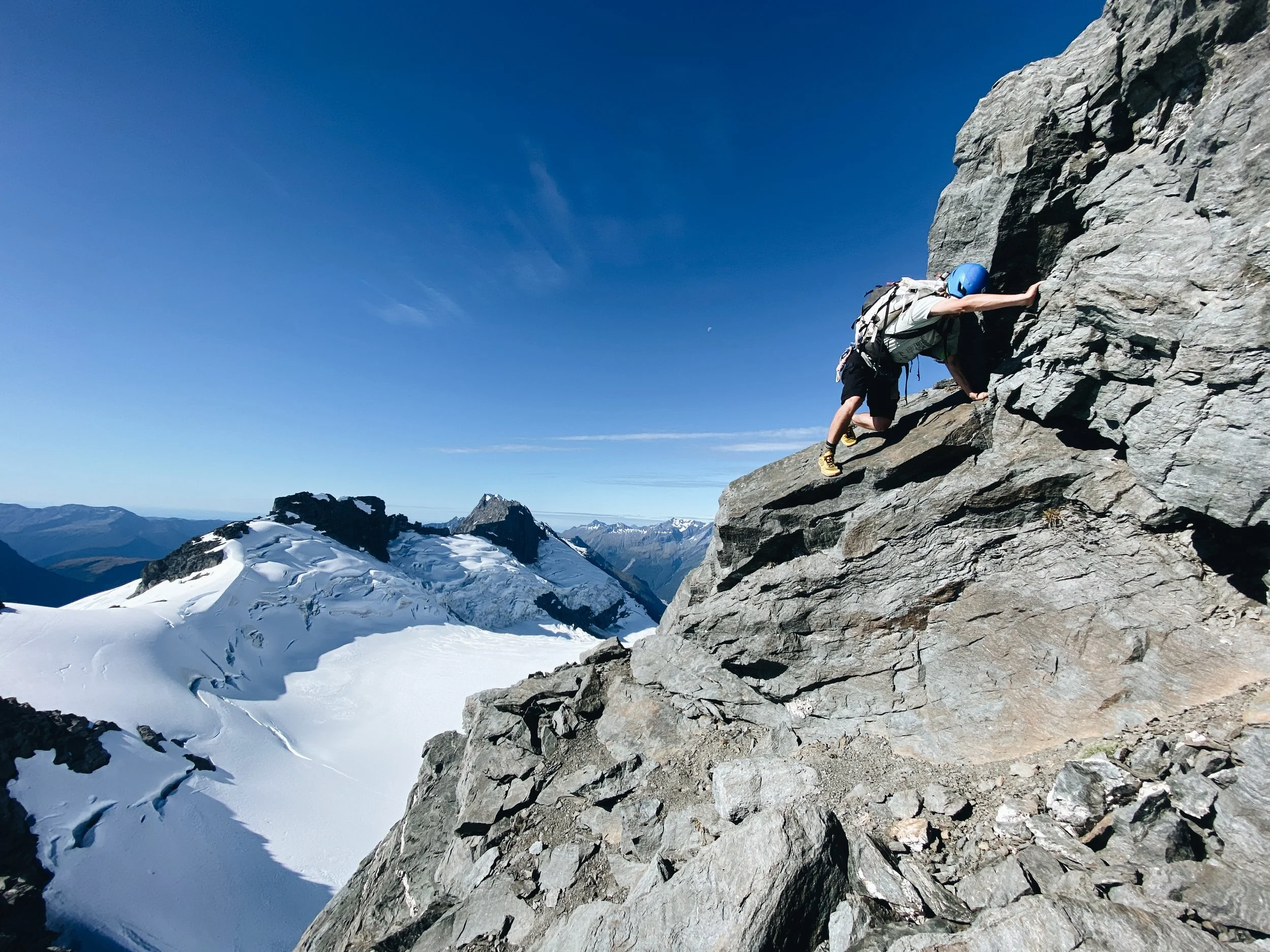
Now in a stint living in Canada I once again wanted to keep exploring the mountains over summer. A little known fact is that shoe skiing is almost as fun as ski skiing, so with lightweight running shoes, ice axe, and crampons/micro spikes (depending on the day) we kept heading high. ‘Runs’ onto the Mamquam Icefield, Nch’kay, and the local classic Sky Pilot followed.
Regular partner in crime Gabe Jacobs Corban and I wrapped up our 2024 summer season with the Garibaldi Neve Traverse. Off the glacier having navigated the crevasse field crux, but still with 20km to go to the trailhead, Gabe’s shoes exploded. That seems like hyperbole when talking about shoes, but in this case the entire sole peeled off one shoe and was starting to go on the other. He’d have been better off in socks, so I think the term is warranted. Taking a break to fix the shoes as best we could with voile straps and tape we got chatting - where could this style of movement take us in Aotearoa? While single pushing the Aoraki Grand Traverse like members of the NZ Alpine Team might be far-fetched for my climbing abilities, could we travel over the Gardens of Eden and Allah like Geoff Spearpoint, or get into the Snowdrift Range and Olivine Ice Plateau?
To me moving fast in the mountains gives space for creative expression over larger expanses of terrain. To Gabe moving in the most efficient way possible, maximising your gear and skills, is how he experiences a feeling of flowing through the mountains. It’s a niche within an already niche sport, yet one that offers huge untapped potential in New Zealand. In Europe and North America athletes are making careers out of Fastest Known Times and races like UTMB and Hardrock, but most impressive efforts in NZ are only found in hidden corners of the internet or social media.
I don’t mean to advocate for louder spraying or more Strava posts, but I would like to see more people exploring our mountains under their own human power. How can people apply skill, creativity, and teamwork to go further, open fresh routes, and innovate how we approach old classics? Check your gear, test your safety systems, find great partners - then go explore what’s possible. It’s my belief that whatever style a person chooses, spending time outdoors increases appreciation of our environment and the need to protect it. Right now our mountains need as much love as they can get, and I’d love to see what kiwis can achieve going fast, light, and safely.
Decisions on Mt Rainier
Getting ready to ski from Rainier’s crater should have been a special moment, but instead I’d just vomited, had a pounding headache, and was in full fight or flight mode.
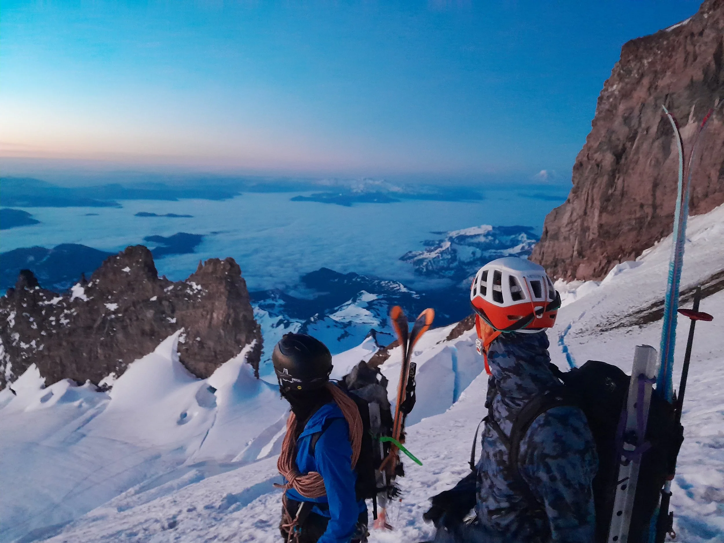
Wind and snow rushed over the crater rim, creating an effect much like being in a snowglobe. We were transitioning from crampons to skis at 14,000ft (4,200m in engineering units) on Mt Rainier, mainland USA’s highest volcano. It should have been a special moment, but instead I’d just vomited, had a pounding headache, and was in full fight or flight mode.
It had taken four years and three attempts to get there, with previous trips derailed by metres of fresh snow and high winds. This spring brought a heatwave instead, with the local weather station at Seattle-Tacoma Airport breaking temperature records, making for starkly different mountain conditions.
In the parking lot outside the Paradise Ranger Station myself, Tashi Hackett, and Alec Getzloff, stirred up an evening feed in the Jet Boil. Over dinner we discussed just how early to wake up in the ‘morning’ and move from our chosen sleeping spot in the open air of the carpark. That sounds grim, but we had a soft pink sunset and guitar riffs from a local guy trying to sweep his date off her feet to fall asleep to, so it wasn’t all bad. We settled on waking up at 11.30pm (in two hours time) to start up the mountain by midnight, so being woken by morning tourists wasn’t going to be an issue.
At 12 on the dot Tashi took off quickly, putting his lanky legs to work. It’s 2,750 metres of elevation gain from Paradise at 1,646m to the summit of Mt Rainier at 4,392m, with the climb commonly completed in two to three days. We’d given ourselves 12 hours, hence the fast pace. It was working though, we found ourselves cruising through Camp Muir at 3000m elevation well before dawn, swapping to crampons and a rope for glacier travel shortly thereafter.
Today was my turn to be ‘crevasse donkey’ - the one at the front to find holes and get unceremoniously hauled back out. The route was well trodden by guided groups though, with himalayan style ladder bridges over a couple of widening crevasses the closest we got to drama. This was simply a one foot in front of the other endurance effort, at least until the route finding during our ski down.
It turns out just moving your foot can get really hard - my speed and health fell off a cliff at 3600m. I’d been living close to sea level in New Zealand, flown to the USA two weeks earlier, and now my body was rebelling with the first signs of altitude sickness.
We trudged another 200 metres, then Tashi and Alec called an intervention. I was sloth-like and slurring words. If they had any say in the matter (they did) I was going to take some altitude meds, now. After a couple of small pills and some water I was muttering arrogantly back at them through the altitude haze in my head - “it’s fine, I could ski down this in my sleep.”
Back to everest stepping I went, moving slowly upwards. We crested the crater rim and eyed an approaching cloud bank. The top of our ski line was on the low side of the crater and we made the decision to stop there, transition, and ski while we could still see the crevasses in front of us. Trudging over the crater to the true summit would’ve been an extra half hour, and our bet was that cloud would ruin all visibility by then. Plus I was still sick. Midway through pulling goggles on my nausea rose, then as I pulled touring skins off my skis I vomited the last of my liquid into the snow. It was time to go down.
While a summit is nice, we were really there for the almost 3000 metre ski descent down the classic Fuhrer Finger line, which we hoped to have timed for great spring snow conditions. We arced turns down the summit snow cap, then were thankful we could still see to navigate through the crevasse field where the Nisqually glacier rolls over into an icefall. The finger itself is a rockwalled chute between two glaciers. It presents a clean ski line, but can also be a gun barrel funnelling ice and rockfall. The heatwave was back in action and even at 9am in the morning rocks were rolling. There was a procession of people climbing up the finger, so we carefully chose our line to avoid endangering them from above.
Out of the gun barrel we paused to enjoy it. All that was left was some rolling skiing back to the car, and having dropped two thirds of our elevation I was already feeling far healthier. Gloppy snow was the final crux, when you hit a patch that had been particularly sun affected it felt like someone was reaching out to grab your feet. In the meantime cloud had fully blanketed the summit.
We got back to the car at 10am, chuffed with our work and feeling like a million dollars compared to at the top of Rainier just 45 minutes ago. Tashi shotgunned the mandatory Rainier beer with his ice axe, then we gear exploded, repacked, and rallied to the Copper Creek Inn at the edge of the National Park to debrief over a hard-earned feed and bottomless coffee.
Our takeaways:
Looking after the team (and a good med kit) kept me just healthy enough
Resisting summit fever made for a safer and more enjoyable ski while we could still see
Climbing up the more open lower angle Ingraham Direct route and descending the Fuhrer Finger minimised the primary objective hazard of rockfall
Rainier is a mountain of many moods that very much deserves respect
A swim in the glacial melt and nap by the river followed, which we all agreed was how every good trip should finish.
Epilogue
Rainier continues to trial and educate the crew - the trip recounted above was in May 2023, and 12 months later Tashi thought it wise to camp near the summit without a sleeping bag. They were not in a heatwave, so hindsight provides entertainment and lessons learned, well told in this article by Spencer Harkins for Samaya.
Looking out our backdoor
As a kid in Alexandra I’d looked up at Central Otago’s mountains, exploring them during summer on foot and by bike, but I’d barely scratched the surface skiing there. 20 years late my brother Kit and I saw our chance to finally explore closer to home.
A ski touring journey from Alexandra to Garston
Images by Kit Pascoe
Winter 2023 was a slow start for New Zealand’s Southern Alps. A dry period and contrasting temperatures followed early snow, leading to a widespread persistent weak layer and avalanche incidents. A series of cold easterly weather systems arrived, doing little to help the state of the commercial skifields and heli operators, but blanketing the lesser known mountains and tundra of Central Otago.
As a kid in Alexandra I’d looked up at Central Otago’s mountains - the Old Man and Old Woman Ranges, Hawkduns, St Bathans, Garvies - exploring them during summer on foot and by bike. But I’d barely scratched the surface skiing there, while driving to the resorts of Wanaka and Queenstown, backcountry in Arthurs Pass and Aoraki, and international trips to Utah, BC, and Alaska. 20 years late my brother Kit and I saw our chance to finally explore closer to home.
Ducking out of work on a Thursday afternoon we reversed our childhood drive, going from Wanaka to Alexandra, challenging the Subaru up the muddy and snowy Symes Road for not very far. We’d packed skiing and camping gear for four days, hoping to tour 75km through to Garston via Blue Lake Huts in the Garvie Mountains. Finding snow at the Kopuwai Conservation Area gate after an hour of walking uphill, we skinned up and over to Nicholsons Hut. Midwinter darkness settled in and navigation turned to headlights.
Following our noses we headed further to Boundary Hut, where we were treated to Mum having the jug on for tea and soup. She’d taken advantage of the fresh snow and good weather to ski in earlier in the day, making it a full family affair in this old musterer's hut hidden just out of sight of our childhood home.
We left with the rising sun, getting some skiing by dropping into the head of the East Waikaia River. Our first challenge was navigating thin bands of snow, a patchily frozen creek, all while enjoying some classically kiwi tussock skiing. Taking boots and socks off we spooked a herd of wild deer, but with the crisp cold air couldn’t watch them for too long. We rolled pants up to wade the river barefoot, then quickly started the climb up to the Garvie Mountains, aiming to get a puff on and warm our feet back up.
Our plan was to follow the crest of the range for 20km, then descend to Blue Lake Huts for the night. In hindsight I should’ve tempered my optimism, listened to Kit, and been persuaded to start our day two hours earlier. We’d been caught out in the dark, still on top of the range, with clear skies but no moon. Contrasting with the Old Man Range where we’d started, the southern end of the Garvies is an isolated outpost of complicated ex-glacial terrain. This makes for spectacular skiing during the day but presented a challenge in the dark with unknown local avalanche conditions and knowledge of a lingering persistent weak layer in other areas.
After some brotherly debate (Kit being grumpy I’d vetoed starting earlier) we opted to use the bivy gear we’d brought ‘just in case’ as the counter to my optimism for how far and fast we’d move. We dug in for a cold night behind a ridgetop tor at 1800m. Sleep was better than expected, until woken by a blizzard eddying around our rock and through the top of our bivy bags. With a lull in the snow we quickly packed up, pulled on damp lukewarm boot liners that had spent the night in our sleeping bags, and contorted our legs to stuff feet into frozen boot shells.
After that effort we were back to trying to get to the hut. In the light of day we were able to find an entrance off the ridge that avoided the worst convex snow loading points, rewarded with great skiing down to Skeleton Lakes, and stunning views of Blue Lake. There was one final crux navigating a mix of tussock and small frozen waterfalls, and then we skied right up to the door of Blue Lakes Huts. We quickly offloaded overnight gear into the hut, after two days of traversing we were keen to actually go skiing.
Treated to good turns earlier in the day we were hopeful for more, but instead got chased back to the hut by increasing wind and snow. The next few hours were a mix of cups of tea, books, and reading stories from the hut book of the early farmers and hunters who’d called this area home.
With a long way to Garston we woke early. The wind had continued overnight, and we were anxious to get outside to assess just how bad it was. The moody morning matched our anxiety about the weather, but made for a stunning sunrise as we toured towards Lake Gow. As we gained height to cross back over the Garvies the gusts strengthened, and we hid behind a tor to transition. Feeling pretty committed at this point, Kit and I timed lulls in the wind, then ran and crawled to get through the wind funnel on the crest of the range. We took turns holding each other's skis so we could clip in, then pointed skis downhill and got out of there.
A great descent to the snow covered Dome Burn wetlands followed, and we breathed a sigh of relief to now be on the home stretch. We could still see wind induced lenticular clouds over the Garvies, but with less elevation we toured on towards Mt Tennyson quite comfortably. The cold southeasterly had done us favours, saving the best turns for last as we skied all the way down to Nokomai Saddle at 1000m. All that followed was a slog along the Nevis Road, fortunately on skis the whole way to the Old Southland Ski Club Hut.
We had a quick lunch, watching the weather change through the window and reflecting. From start to finish we’d seen no one but family, which seemed fitting for a trip through our underappreciated home mountains. We’d seen that potential for adventure lay right under our noses, with the Garvies dishing up harsh weather, long days, unplanned bivvies, and plenty of incredible ski terrain to return to explore. All that was left was 15 minutes of walking down the road to a pickup we were very thankful for. In keeping with the unpredictable weather, or maybe right on queue, the rain rolled in.
Please note: most of this trip is on private land and permission for access must be sought. Look at the report on Ski Touring NZ for details on who to contact.
A desert experience
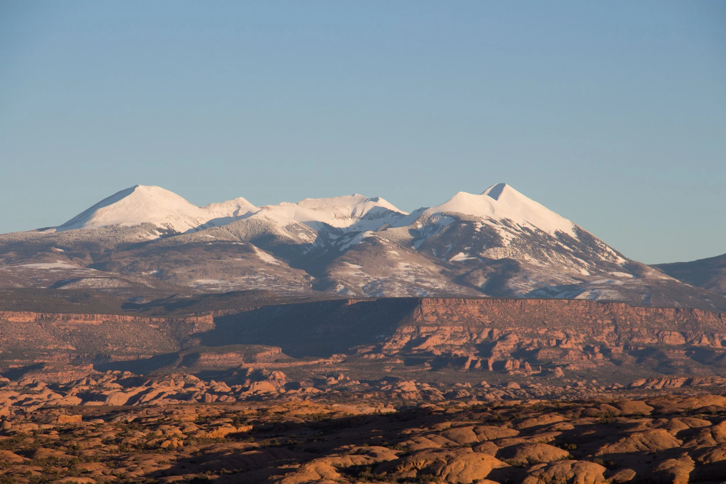
The story goes that the Spanish missionary who named these mountains deemed it so unlikely that there could be snow in these parts, and so the mountains must be covered in salt, naming them the Sierra La Sal (salt mountains).
There’s some places you would never consider skiing, and a desert famous for it’s mountain biking fits the bill. The story goes that the Spanish missionary who named these mountains deemed it so unlikely that there could be snow in these parts, and so the mountains must be covered in salt, naming them the Sierra La Sal (salt mountains). It was this destination I rushed towards with local friend Kyle Toohee as soon as I made it out of my evening shift in Alta, Utah, at 11pm. Arriving to the trailhead at 3am with snow tumbling through our headlights we were quickly reassured the skiing was to be epic.
We woke to 15cms of fresh snow overnight, sun poking through clouds over a glorious hoar frost, and got off and away up the skin track. We reached Geyser pass early, and were greeted with the first view of the red desert we’d driven so far to ski in. We quickly scoped out our first lines for the day and headed off get in some turns. A quick pitstop was made to visit the Gold Basin yurt. It looked alluring enough for the skin track chat to swing to planning a trip back with a larger crew and a kid’s sled to drag our beers in. While the hut system in Utah isn’t as great as we’re blessed with in New Zealand, there are scattered yurts about the forest service land which offer some good opportunities for overnight missions.
Our skin track chat slowly died down to gasps and pants as we wallowed up our first chosen face. The reward was sweet though, enjoying the kind of blower powder we’d become so used to in Alta back down through the trees. A few more lines followed through Aspen groves and then our late night drive began to take it’s toll. However after spending months in the backcountry highway that is the Wasatch mountains it had been a treat being out alone in the backcountry, setting our own skin tracks, and enjoying fresh turns. Something we don’t appreciate enough in New Zealand!
The prior day finished off with a mexican dinner in Moab , and led into turning the car heater on multiple times over night to try and keep us slightly warm as we slept in the car at 2900m and -20C. This led to slow motivation for the morning, however on seeing the stars and realising it was clear and calm our enthusiasm lifted. We were off to try for one of the ‘50 Classic Ski Descents of North America’ as penned by Chris Davenport and co, Mt Tukuhnikivatz. We reached the base around 10am, and were greeted with a steep, exposed, and wind loaded face. Over some PB and J sandwiches we agreed safety dictated we bail on our intended line, but try and access up a tree covered face to the ridge of Little Tuk, Mt Tuks slightly smaller sentinel. An hour and a half later and we collapsed onto the ridge, only a few hundred feet higher, after suffering back and forth up the face. I gained a new appreciation for wind scoured ridges, as we made fast ground the remainder of the way up to the summit of Little Tuk. Our reward was a tight chute of dry chalky snow, into a final epic powder face, all looking over the Moab desert.
We were weren’t quite done with skiing though. On the first day we’d seen some local ranchers doing laps from the trailhead down the next few switchbacks on the road in their jeans and flannels with knives strapped to their hips. We took some inspiration from these guys, and took a turn each in the low angle aspen groves. It was such good skiing Tohee went far past the meeting spot, and I spent a while driving back and forth hoping he hadn’t wrapped himself around a tree in the woods. As we started the drive back to the Wasatch we popped into Arches National Park, and explored the desert that is teeming with hikers, mountain bikers and camera wielding tourists at all times but the depths of winter. On one side I could view the world famous red rock arches, and on the other our last line off Little Tuk. Most definitely one of the most unique places I have ever skiied!


